

Watch the video of the trail:
Description:
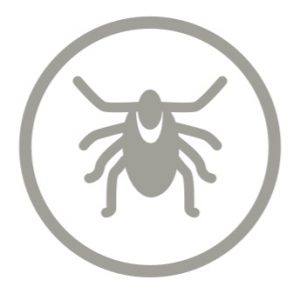
It is one of the largest wetlands in Lithuania. Along with the nearby peatland, the marsh spans for over 2500 ha. In this trail, visitors have the opportunity to get acquainted with the marsh, its formation, rare herbs and animals, see the landscape. The path is waving on a former secret road under water, which was based on stones. In the 18th century this road connected several villages across the marsh. At that time there were almost 2000 inhabitants, who were growing potatoes and other vegetables and transported them to Eastern Prussia for sale, while others worked in peat turbaries. Nowadays, these villages do not exist anymore. Be careful when hiking the trail as the common adder (snake) lives in the marsh.
Download the GPX of the trail
In order to open the GPX file with the trail route on a mobile phone or computer, please install one of the hiking apps or maps, e.g., Wikiloc, Outdooractive, ViewRanger, OS Maps or any other GPX file reading programme or application.
Location: Nemuno Delta Regional Park, Šilutė District
Suggested starting point: on the road Šilutė – Kintai
Starting poing of the trail in the map: Lat:55.38786,Lon:21.35243
Accessibility: 
Hiking time: 0,5 h (one way)
Distance: 1,2 km (one way)
Marking: Direction signs and info boards
Type: Out&back
Difficulty: 
Trail surface: Wooden boardwalk, path
Facilities: 
Viewing platform
Getting there: by car
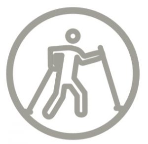
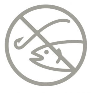
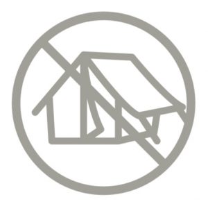
Rules to follow: ![]()
![]()
![]()
![]()
![]()

![]()
Trail administrator: Nemuno Delta Regional Park Directorate, Tel. +370 441 75050, +370 441 58154, info@nemunodelta.lt
Info:
Šilutė Tourist Information Centre, 4 Lietuvininku Street, Šilutė, Tel.: +370 441 77785, e-mail: info@siluteinfo.lt, www.siluteinfo.lt
Nemuno Delta Regional Park Directorate, 13 Kuršmarių g., Rusnė, Tel. +370 441 75050, +370 441 58154, info@nemunodelta.lt, www.nemunodelta.lt
Closest shops: Šilute, Kintai
Closest gas stations: Šilute