

Watch the video of the trail:
Description of the trail:
Kalni nature trail stretches along the coast of the River Losis – a nice, shallow, pebbly river. You will see a number of info stands with riddles, also helping to assure that you’re on the right track, as well as information on interest objects – railway embankment once made for the transportation of brown coal, the blue clay bluff and the Airīši secular stone. There are also few resting areas, a fireplace site and a picnic shed. The trail is suitable for both, leisurely walk and hiking – there are some wooden boardwalks, stairs and two quite surprising small bridges, requiring some courage and concentration skills to cross them – but that is exactly what makes this trail special.
Download the GPX of the trail
In order to open the GPX file with the trail route on a mobile phone or computer, please install one of the hiking apps or maps, e.g., Wikiloc, Outdooractive, ViewRanger, OS Maps or any other GPX file reading programme or application.
Location: Nīgrande
Suggested starting point: Kanavišķi water locks (see brown direction sign to the trail)
Starting poing of the trail in the map: Lat:56.45871,Lon:22.11609
Accessibility: 
Hiking time: 1 h
Distance: 2,6 km
Marking: Info stands with riddles
Open: Not advised in winter
Type: Loop
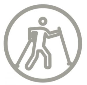
Difficulty: 
Trail surface: Path, wooden boardwalk
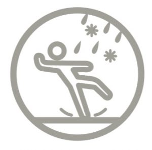 (During rain the trail is slippery)
Facilities: ![]()

![]()
![]()
![]()
![]()
![]()
Getting there: by car
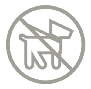
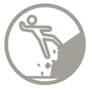
Rules to follow: 


Trail administrator: Nīgrande Parish Council, +371 63864239, nigrande@saldus.lv
Land owner: Vineta Ignāte, tel. +371 29341073
Info: Saldus Tourism Information, Culture and Sports Centre, 3 Striķu Street, Saldus, +371 63807443, tic@saldus.lv, turisms.saldus.lv/en/
Closest shops: Kalni, Nīgrande
Closest gas stations: Ezere, Skrunda, Saldus