

Watch the video of the path:
Description of the trail:
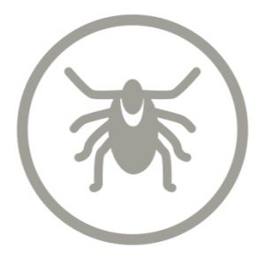
The boulder of Šaukliai is distinguished by the unique tundra-like landscape, unusual in Lithuania. A nature path with an observation tower and information pointers introduces with the unique flora and fauna of this area. The boulder of Šaukliai is one of the largest boulders in Lithuania and is part of the Šaukliai Landscape Reserve. The Reserve spans a total area of 79 ha and was formed in the last glacial period. It is also known as the Lithuanian tundra, in which, in its primeval position, the rocks of 0,3-1 m or even 3 m in diameter are fairly evenly distributed. Very lush, high, reaching even 6 m, junipers of various forms grow between them, forming a full brushwood. Part of the boulder area is fenced, because of the mouflons band grazing there for nature management purposes. People in wheelchairs and parents with baby-strollers are suggested to contact the trail administrator in advance of the visit to access the trail because of the fence.
Download the GPX of the trail
In order to open the GPX file with the trail route on a mobile phone or computer, please install one of the hiking apps or maps, e.g., Wikiloc, Outdooractive, ViewRanger, OS Maps or any other GPX file reading programme or application.
Location: Salantai Regional Park, Šaukliai Village, Skuodas District
Starting poing of the trail in the map: Lat: 56.12609, Lon: 21.59004
Accessibility: 
![]()
![]() Wooden boardwalk. WC is not accessible
Wooden boardwalk. WC is not accessible
Hiking time: 1 – 2 h
Distance: 2,7 km
Marking: Information stands and arrows
Type: Loop
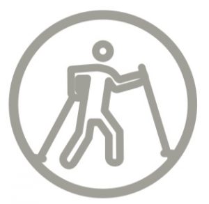
Difficulty: 
Trail surface: Wooden boardwalk, path
Facilities:![]()
![]()

![]()
Watching tower

 at parking lot
Getting there: by car
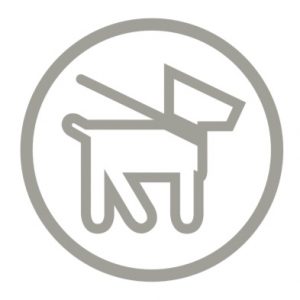
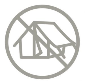
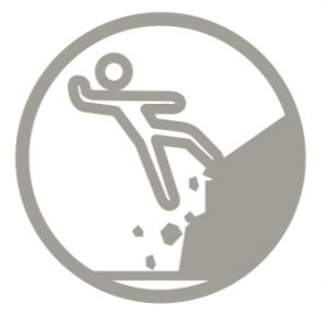
Rules to follow: ![]()
![]()


Trail administrator: Salantai Regional Park, +370 445 58761, direkcija@salanturp.lt
Info: Skuodas District Municipality, 10 Vytauto Street, Skuodas, tel. +370 440 73 935, www.skuodas.lt
Closest shops: Salantai, Mosedis
Closest gas stations: Salantai