Description of the trail:
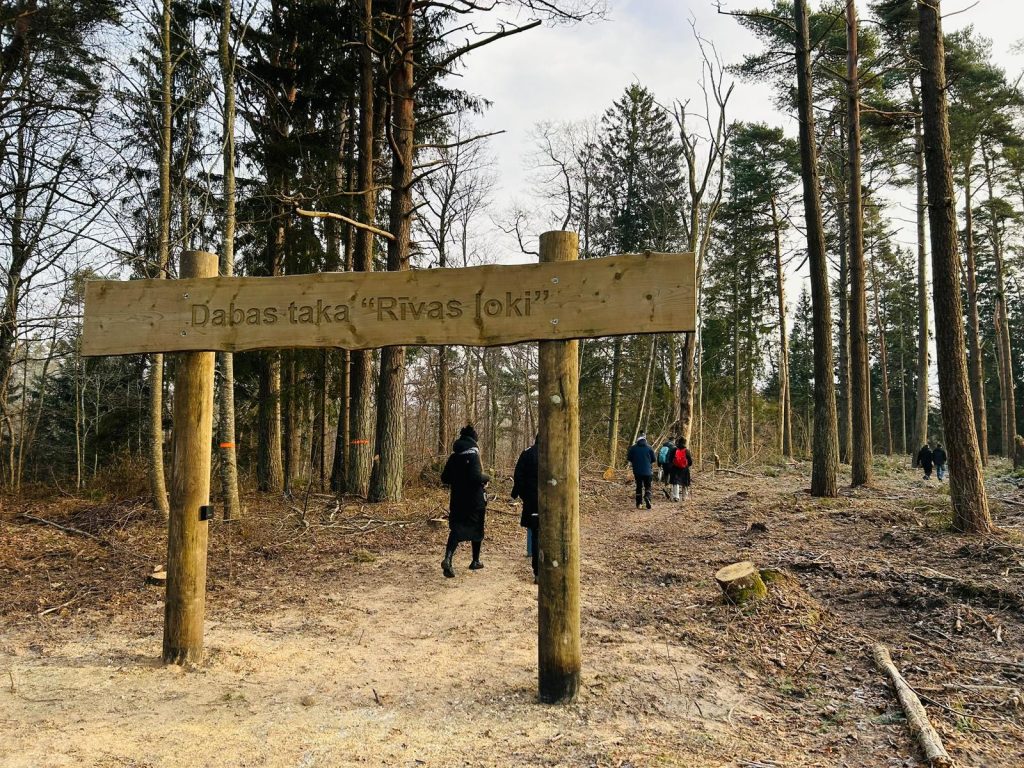
Although you will not yet see the familiar brown road sign pointing to the trail from the main road, it is still easy to find. Follow the sign towards the Ulmale–Labrags Lutheran Church; the start of the trail is marked with a specially designed sign displaying the trail’s name.
The route leads away from the sea and winds uphill and downhill through the picturesque lower valley of the River Rīva. The river flows through a canyon-like ravine, reaching a depth of up to 12 metres. Along the way, you will encounter countless meanders and steep riverbank outcrops, offering striking natural scenery and a rich variety of plant life. With a bit of luck, you may also spot a kingfisher or even a black stork.
The river is best suited for boating in spring and autumn.
The route is intended for active walkers. The total distance is 8 km, and it is advisable to allow around 2.5 hours to complete it. Several rest areas are available along the trail, equipped with benches and campfire sites.
This is a linear route, and you can return via the road (4 km back to the trailhead). Please note, however, that public transport does not operate in this area, so it is important to plan your return transport in advance or be prepared to walk back.
Download the GPX of the trail
In order to open the GPX file with the trail route on a mobile phone or computer, please install one of the hiking apps or maps, e.g., Wikiloc, Outdooractive, ViewRanger, OS Maps or any other GPX file reading programme or application.
Location: Labrags
Recommended starting point: Ulmale–Labrags Lutheran Church
End point: Gumbu Bridge over the River Rīva
When travelling by vehicle along the V1186 road, dedicated access gates for special transport have been installed approximately 1 km from the church. This provides an opportunity for people with reduced mobility to reach the trail’s viewing platform and enjoy the experience.
Starting poing of the trail in the map: Lat:56.97027,Lon:21.34781
Accessibility: 


Hiking time: 2,5 h (one way)
Distance: 8 km (one way)
Marking: Marked with a square symbol – blue/green
Type: Loop
Difficulty:

Trail surface: Path, forest road
Facilities: ![]()
![]()
![]()
![]()
![]()

![]()
![]()
![]()
![]()
viewing platform
Getting there: by car
Rules to follow: 


![]()
Trail administrator: Dainis Ansons, 26427606
Info:
Pāvilosta Tourism Information Centre, 2 Dzintaru Street, Pāvilosta, +371 29121894, pavilosta@dienvidkurzeme.travel, www.dienvidkurzeme.travel
Ventspils Tourism Information Centre, 6 Dārzu Street (Ventspils Ferry Passenger Terminal, 1st Floor), +371 29232226, tourism@ventspils.lv, www.visitventspils.com/en/start/
Closest shops, gas stations: Pāvilosta, Jūrkalne